History & Culture
The Inca Road Network: The Most Underestimated Infrastructure in History
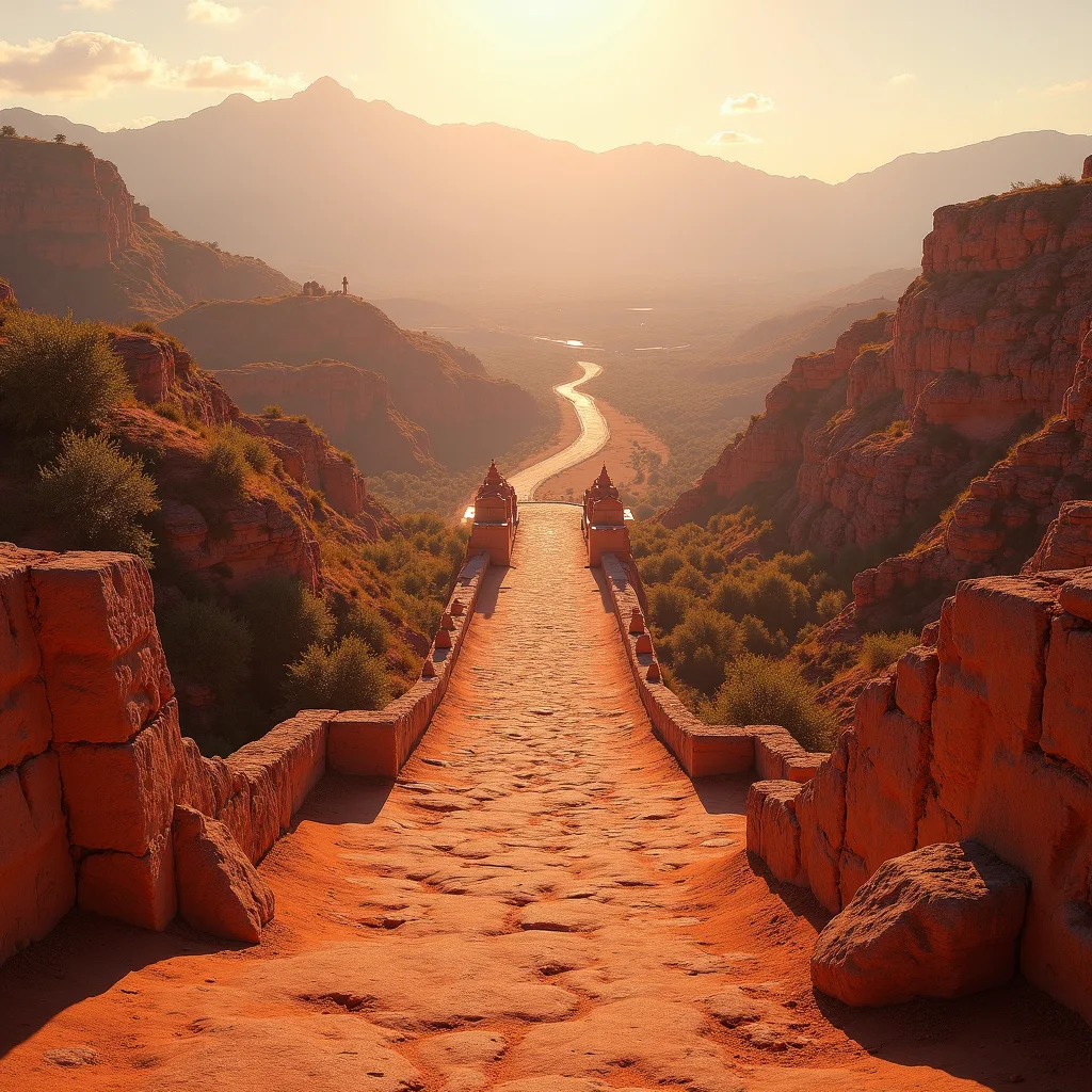
This post contains affiliate links. If you purchase through them, I may earn a small commission at no extra cost to you.
The short answer: The Inca road network was the most advanced infrastructure of its time—not because of materials, but because it integrated logistics, communication, spiritual order, and data tracking into a unified system spanning 25,000 miles across the Andes using only human foot traffic.
How could the Inca build a massive network without wheels, iron tools, or a writing system?
The Inca bypassed technological “gaps” by using extreme organization, oral databases, and ritualized maintenance cycles that made the entire system feel inevitable, not improvised.We’re conditioned to equate advanced infrastructure with stone arches or steel rails. But the Inca achieved more with rope, stone, and memory. They didn’t use wheels not due to ignorance, but because their mountainous terrain made them impractical. Instead, they perfected a pedestrian empire—where the human foot was the universal transport unit.
Porters known as chaskis carried messages up to 150 miles a day across a relay network that rivaled any pony express. Information traveled faster than Spanish cavalry could gallop on flat terrain. And they didn’t use paper. They used quipus, knotted cords that encoded census data, tax quotas, and military logs. These were read by trained officials called quipucamayocs, making it the world’s only binary data system that predated computing.
As Sapiens discusses, writing isn’t always necessary for data preservation—especially when culture trains memory at scale. The Inca state functioned like a live network: people were routers, and stone paths were fiber optic cables.
What made Inca suspension bridges so durable despite being made from grass?
Inca grass bridges lasted decades because they were rebuilt annually as a religious ritual—blending engineering necessity with spiritual practice to guarantee community labor and structural integrity.The Q’eswachaka bridge, rebuilt every June by local Quechua communities, is a living example of this. Woven from ichu grass, it spans 120 feet across a ravine in the Apurímac canyon. Each family contributes ropes, and the entire structure is dismantled and rebuilt over three days in a ceremony honoring the river and mountain gods.
This wasn't just tradition—it was a failsafe. Annual reconstruction ensured degradation never exceeded repair capacity. Modern suspension bridges fail not because of design, but because maintenance is deferred. The Inca encoded it as worship. And the technique was sophisticated: the braided grass achieved a tensile strength comparable to steel cable over short spans, and the cables were thickened with moss to improve grip and weather resistance.
Spanish engineers admitted surprise: in 1549, one reported that the bridges held “more securely than many of our stone arches.” Even Guns, Germs, and Steel overlooks that the Inca managed complexity with social cohesion—a kind of distributed infrastructure where every citizen was both taxpayer and builder.
How did the Inca road system contribute to state control and cultural unity?
The roads weren’t just for travel—they enforced ideological loyalty by making every journey a pilgrimage through symbols of imperial power and divine authority.Along the Qhapaq Ñan—the royal road—stone staircases ascended to shrines, storage depots held food that could be claimed only with state permission, and waystations provided shelter only to authorized travelers. Citizens moving without purpose were questioned; every journey had to serve state or spiritual goals.
This was psychological infrastructure. The Inca didn’t just build roads—they built obedience into geography. Walking for miles up a perfectly aligned stairway to reach a temple wasn’t travel—it was ritual submission. The roads connected not just cities, but the earthly realm to the sacred. This is why the Spanish destroyed so many shrines and waystations—to break not just a supply network, but the spiritual legitimacy of the empire.
Like the Library at Alexandria's destruction in The Library Fire That Changed Everything, the dismantling of the Inca road system wasn’t just conquest—it was epistemicide: the killing of a knowledge civilization.
Key Definitions
- Qhapaq Ñan
- The official name of the Inca road network, spanning over 25,000 miles across modern Peru, Bolivia, Ecuador, Colombia, Chile, and Argentina—unified by engineering standards and religious purpose.
- Quipu
- A data recording device made of knotted strings, used by the Inca for record-keeping in administration, demographics, and logistics—functioning as a non-written binary data system.
- Chasqui
- A trained runner in the Inca message system who relayed information at high speeds using a relay model, enabling command and control across vast distances in near real-time.
The Bottom Line
The Inca didn’t have wheels, but they had something better: a network woven from human endurance, ritual discipline, and data-encoded string. Modern infrastructure fails not from lack of money, but from missing the Inca insight: systems last when people believe in them as much as they depend on them.Frequently Asked Questions
- Are any parts of the Inca road network still in use today?
- Yes. Several stretches are still maintained and used by Andean communities for travel and pilgrimage. UNESCO has designated many segments as World Heritage Sites to preserve them from urban encroachment and road development.
- Were Inca roads flat like Roman ones, or did they adapt to terrain?
- Unlike Roman roads, which required extensive grading, Inca roads followed topography exactly. They carved stone staircases where needed, created switchbacks up cliffs, and integrated natural paths into their grid—maximizing speed and safety with minimal environmental disruption.
- How do experts know the full extent of the network if so much is buried or overgrown?
- Modern archaeologists use satellite imagery, LIDAR, and community oral histories to map lost paths. In 2023, a study in The Silk Roads expanded research to include Inca-like systems in Africa and Southeast Asia, suggesting foot-based networks were a global solution to rugged terrain.